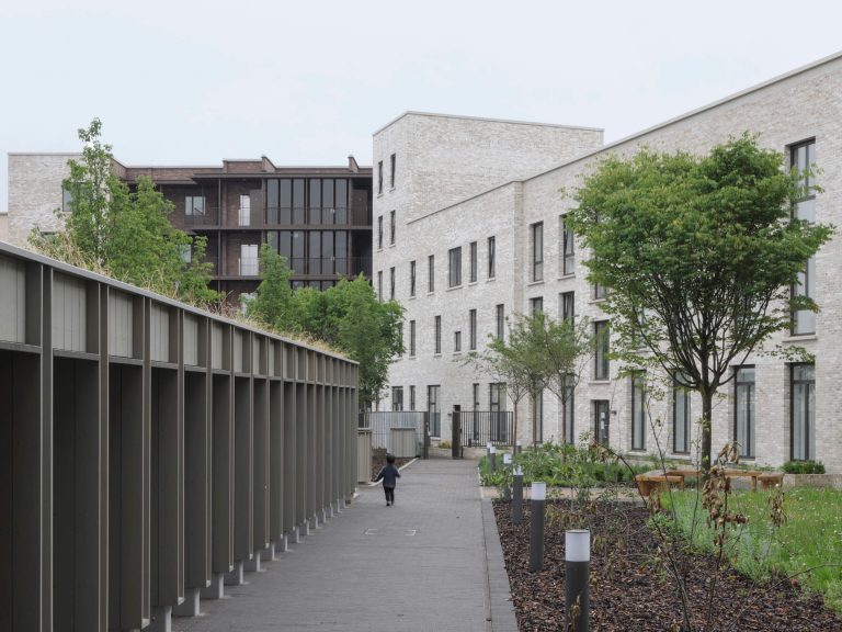
Upper Lea Valley
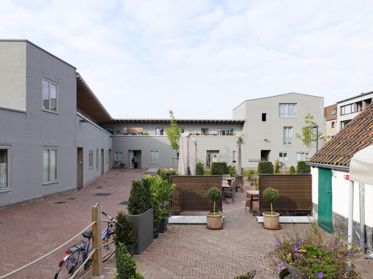
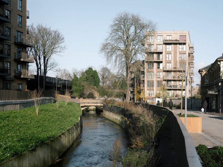
A large and diverse stakeholder group commissioned us to prepare a strategy for this city edge landscape at the heart of a regional regeneration area. Although the study area was vast, by exploring and talking with users we built a granular understanding of its defining constraints and hidden assets. Many parts of the valley are poorly accessible, hard to navigate and degraded, however the streams, rivers and canals connect the distinctive floodplain landscapes and underlie the footpath network. The layers of infrastructure divide it up, but also shelter surprising and varied pockets of habitat and activity. Behind fences and high grassed mounds, the reservoirs host a sailing club and many bird colonies. It became clear that the parts of this patchwork landscape are more interdependent, and more entwined in the life of the city, than they at first seem.
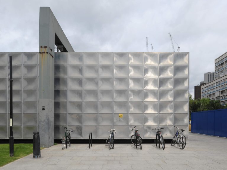
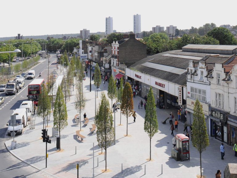
We mapped out more than sixty projects – including bridges, paths, riverbank naturalisation and amenity buildings – that would help achieve a coherent network of paths, enhance habitat, flood storage and clusters of activity, and structure large development sites. Despite the difficult economic climate since the study, a number of these have been taken forward and realised. Although composed mainly of small scale projects with a cumulative effect, the strategy also identified and developed one large, transformative project, the 200 hectare complex of reservoirs at at the heart of the valley. Through modest physical works a multi-functional public space has been delivered at Walthamstow Wetlands, combining infrastructure and ecology, local access to nature and regional leisure.
Project
Landscape strategy
Location
Upper Lee Valley, from Lea Bridge Road to the M25
Collaboration
with Jonathan Cook Landscape Architects
Client
North London Strategic Alliance with the Greater London Authority
Duration
2009 – 10
Photography
Philipp Ebeling